
Inloggen
Als u een account bij ons heeft, meld u dan aan.
Registreren
Door een account aan te maken in deze winkel kunt u het betalingsproces sneller doorlopen, meerdere adressen opslaan, bestellingen bekijken en volgen en meer.
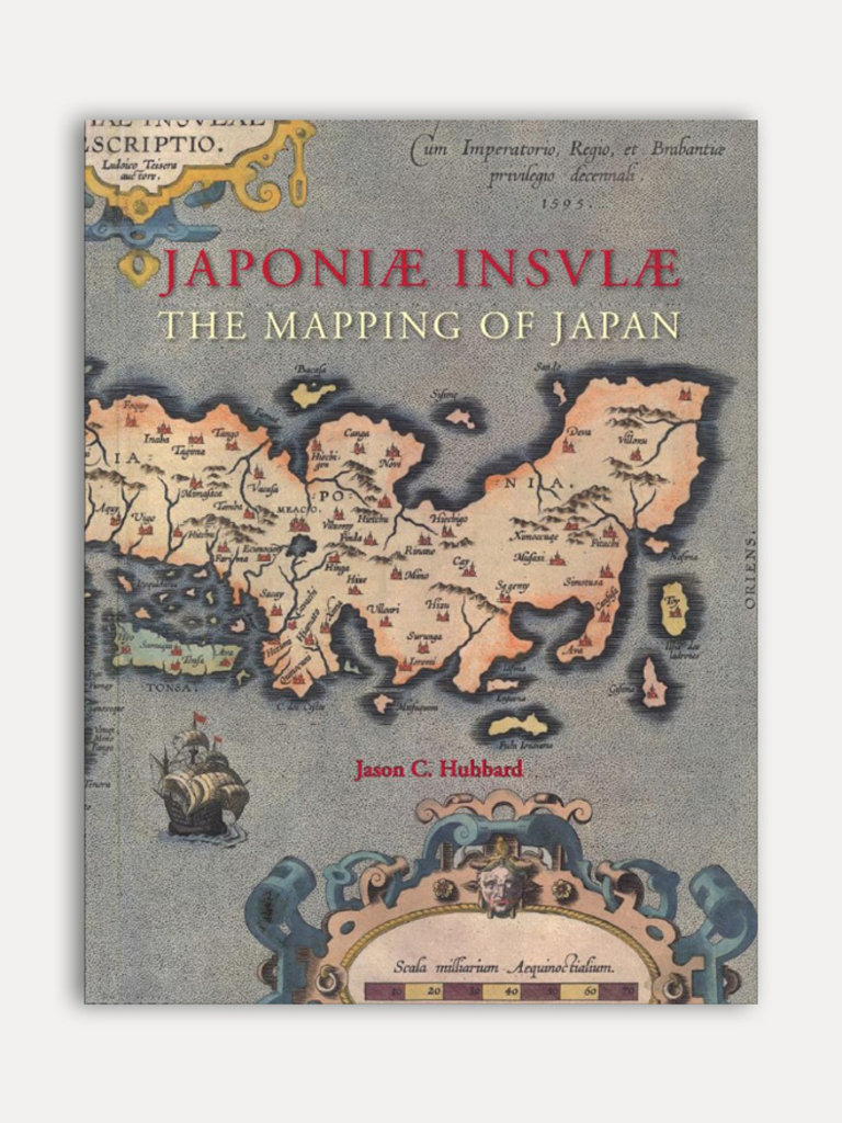
Account aanmakenHubbard has undertaken a review of the literature, conducted an exhaustive investigation in major libraries and private collections, analyzed these findings and then compiled information on 125 maps of Japan. The introduction contains information about the mapping to 1800, the typology of Japan by western cartographers, an overview on geographical names on early modern western maps of Japan and a presentation of the major cartographic models developed for this book.
This is Volume XIV of the Utrecht Studies on the History of Cartography (Explokart). This series is prepared under the direction of the Research Program URU-Explokart of the University Utrecht. It is aimed at both researchers and laymen with an interest in these matters.
| Auteur | Jason C. Hubbard | |
| Uitgever | HES & DE GRAAF Publishers BV | |
| Taal | Engels | |
| Jaar van uitgave | 2012 | |
| Afmetingen | 25,1 x 32,3 cm | |
| Kenmerken | Hardback, 444 pagina's, Illustraties, Kleur en Zwartwit | |
| ISBN | 9789061945314 |
